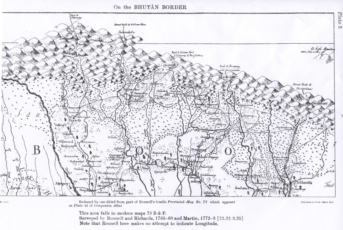
Historical Maps of Bhutan
In 1865, the British were at war with Bhutan, and military mail / campaign covers from the period are known. Illustrations and more details are in the Postal History pages.
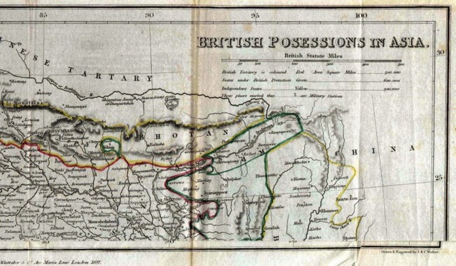
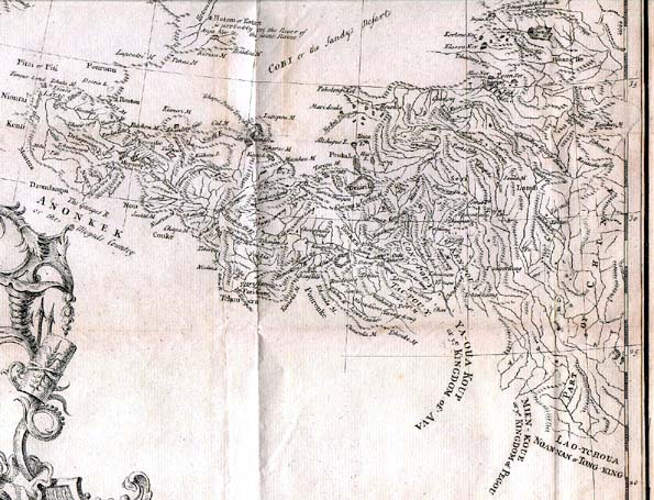
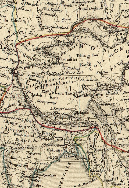
Bhutan was thought by many mapmakers to be a lot longer than it really ever was.
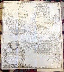
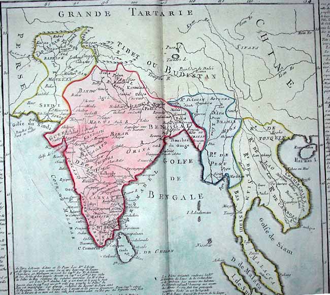
The legend for this map shows the British considered as independent states those that are surrounded in yellow.
Notice the country name: Bhotan
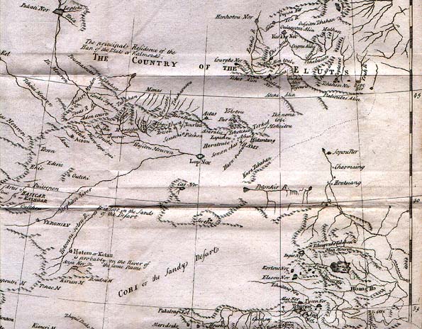
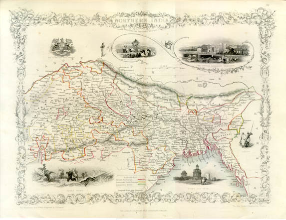
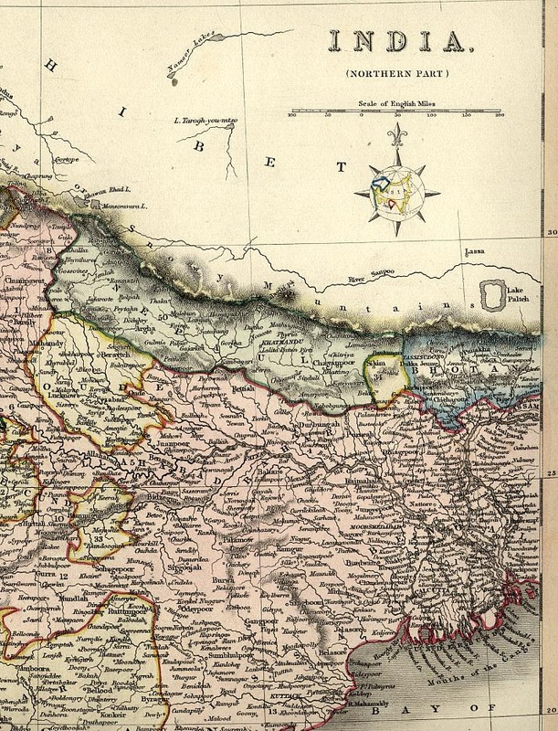
The legend for this map shows the British considered as independent states those that are surrounded in yellow.
Notice the country name: Bhotan
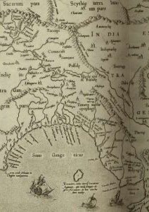
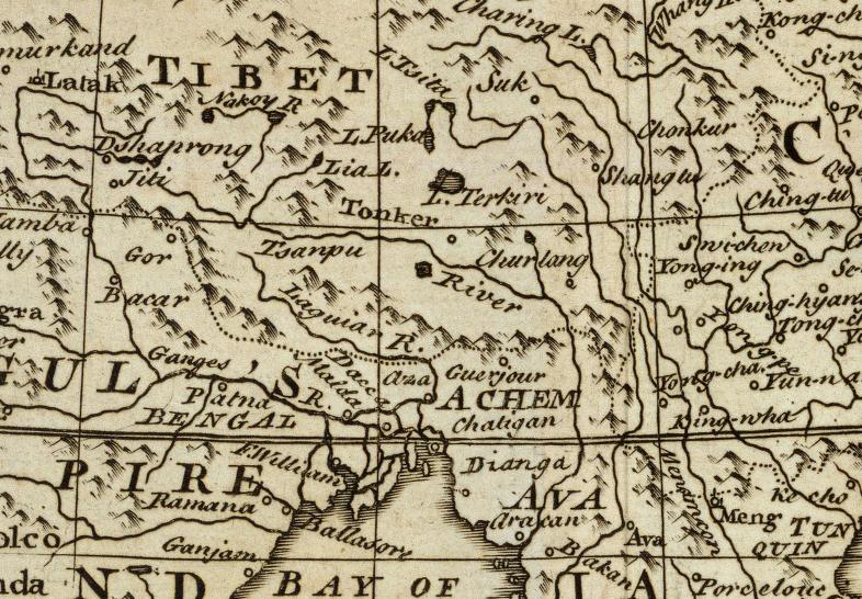
Map from 1780s - identifying Tibet (at lower right corner) as "Tibet or Boutan"
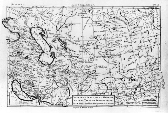
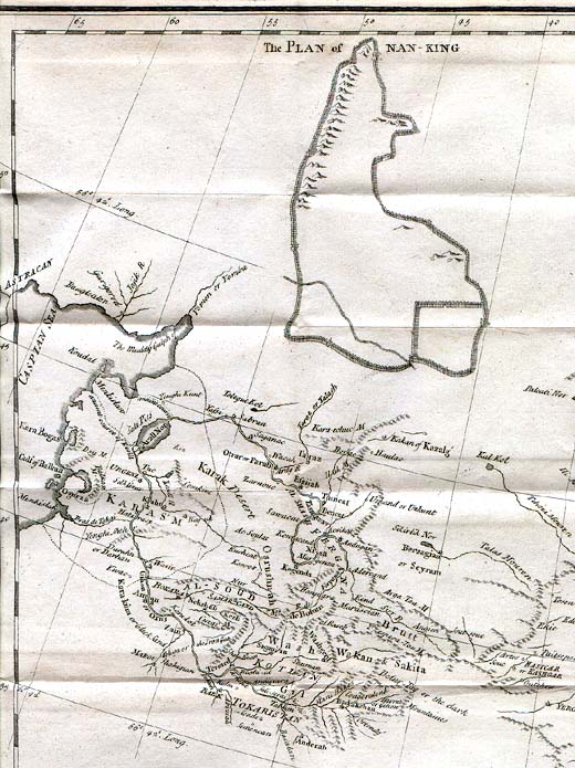
Actually, Tibet was referred to more accurately as "Bod-yul" and similar. Bhutan's native name is "Druk-yul", pronounced more like "hBrug-yul", which is thought by some scholars to have arisen to mean "the end of Tibet".
|
      |
New Era Maps (General)